Just drone it llc.
Just drone it llc.
Your Drone Service Pros
Wildlife/hunting
Contact Info
A variety of delivery methods and options available

High Quality Photos
We get the BEST shots and angles using our high precision Camera drones.
High Defenition Video
Capture all of your most memorable moments with up to 8K video recording
In house editing available
Video production at all levels and altitude to bring attitude to your videos.
Our drone service stands out as the premier choice for photography and videography due to our comprehensive approach from start to finish.
When you choose us, you can rest assured that we handle every aspect of your project with professionalism and expertise. From initial planning and scheduling to the actual capture of stunning aerial footage, our skilled team ensures every detail is meticulously executed.
Moreover, we go beyond mere capture. Our commitment extends to post-production editing, where we transform raw footage into polished, visually captivating masterpieces. Whether it's enhancing colors, adding effects, or syncing audio, we guarantee a final product that exceeds expectations.
Lastly, prompt delivery is a cornerstone of our service. We understand the urgency of your needs, so we strive to provide swift turnaround times without compromising quality.
In essence, by choosing our drone service, you're opting for unparalleled dedication, creativity, and efficiency in every step of your photography and videography needs.

Orthomosaic maps
Area and volume calculations
Using image data taken from many high resolution photos at lower altitudes to build a real time updated image of an area without losing resolution and retaining an excellent GSD.
Having a high GSD, an abundant point cloud and additional information we can calculate the area and volume of assets, stockpiles and points of interest
DEM topographics
With our GPS drones and point clouds along with assets like Google Earth Pro we can generate 2d and 3D topographic maps
Our photogrammetry drone service utilizes cutting-edge technology to revolutionize spatial data capture and analysis. By employing advanced drones equipped with high-resolution cameras and precise GPS systems, we generate detailed 2D and 3D models and maps with unprecedented accuracy and efficiency.
real estate
Aerial Photography and Videography
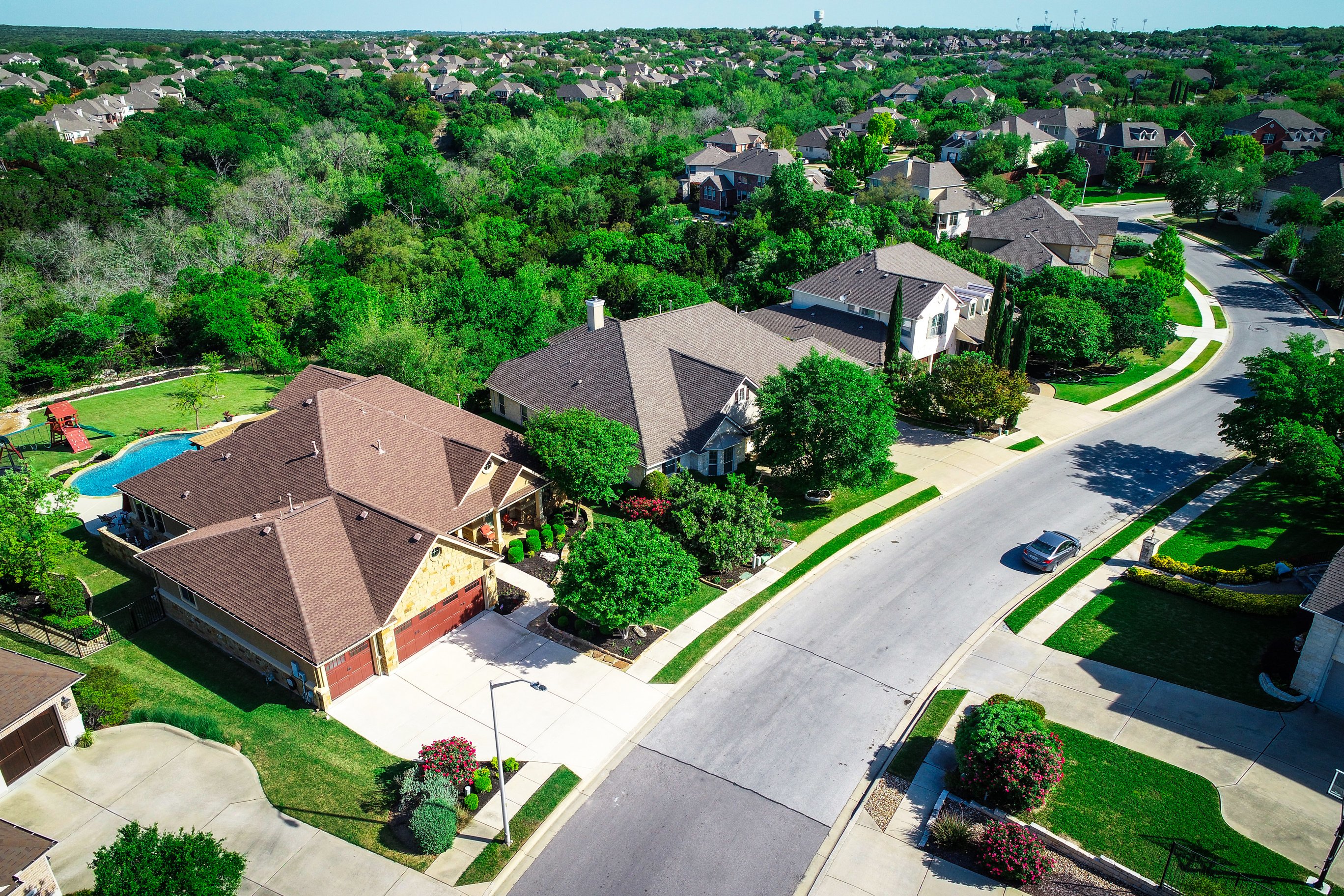
Our drone service offers captivating aerial photography and videography, providing prospective buyers with a comprehensive view of properties. These aerial shots showcase the property's layout, surrounding landscape, neighborhood amenities, and nearby attractions in a detailed and immersive manner, setting realistic expectations and attracting more potential buyers before in-person visits.
Property Inspection and Evaluation
Drones equipped with high-resolution cameras can conduct thorough property inspections, even in hard-to-reach areas such as rooftops and chimneys. This capability ensures that potential buyers have a clear understanding of the property's condition and any maintenance issues.
Virtual Tours and 3D Modeling
Using advanced photogrammetry technology, we produce detailed 3D models and interactive virtual tours of properties. These tours enable potential buyers to explore every aspect of the property remotely, from various angles and perspectives. By visualizing the layout, spatial dimensions, and room flow, buyers gain a thorough understanding of the property's suitability without needing to visit in person. This capability not only reduces unnecessary site visits but also enhances efficiency for both buyers and sellers alike.
Construction and architecture
our drone service revolutionizes construction and architectural projects by providing accurate site mapping, real-time progress monitoring, detailed documentation, enhanced safety measures, and improved collaboration. These capabilities streamline workflows, mitigate risks, and contribute to the successful and timely completion of projects.
ACCURATE SITE MAPPING
PROGRESS MONITORING
Drones equipped with high-resolution cameras and GPS technology can capture detailed aerial imagery of construction sites. This data is then processed to create accurate 2D maps and 3D models of the site. These maps provide comprehensive insights into the topography, layout, and existing structures, aiding in initial site analysis, planning, and design phases of the project.
Throughout the construction process, drones conduct regular aerial surveys to monitor progress. By comparing current data with initial site mapping, project managers and stakeholders can track developments, identify potential discrepancies or delays, and ensure that construction activities align with timelines and specifications.
SAFETY AND INSPECTION
Drones enable safe and efficient inspection of hard-to-reach or hazardous areas such as rooftops, bridges, and high-rise structures. This proactive approach enhances on-site safety by reducing the need for personnel to work at height or in risky environments, while also facilitating timely identification of potential issues or safety hazards.
ENHANCED COMMUNICATION AND COLLABORATION
The visual data captured by drones facilitates effective communication and collaboration among project teams, subcontractors, and clients. Shared access to real-time aerial imagery and progress reports fosters transparency, improves decision-making processes, and ensures that all stakeholders are aligned throughout the construction lifecycle.
With Just Drone It llc., transform insurance operations by enabling rapid property damage assessment, enhance risk analysis capabilities, optimize claims processing, and support effective disaster response. These capabilities not only improve operational efficiency but also enhance customer service and resilience in managing insurance-related challenges.
insurance
efficient risk analysis
Beyond assessing damage, drones facilitate comprehensive risk analysis for insurance underwriting purposes. By conducting aerial surveys of properties and their surroundings, insurers can evaluate potential risks such as proximity to flood zones, wildfire-prone areas, or other environmental hazards. This proactive approach enables insurers to adjust coverage appropriately, enhance risk management strategies, and optimize pricing based on real-time and accurate data.
claims processing optimization
The rapid and accurate data provided by drones significantly expedites the claims processing workflow. Insurance companies can quickly review and validate claims, assess liability, and expedite settlements based on the documented evidence gathered by drones. This efficiency not only improves customer satisfaction by reducing claim resolution times but also minimizes operational costs associated with manual inspections and lengthy claims investigations.
rapid assessment of property damage
Drones equipped with high-resolution cameras can swiftly capture detailed aerial photographs and videos of properties affected by natural disasters, accidents, or other incidents. This capability allows insurance adjusters and claims inspectors to remotely assess the extent and nature of damage without needing to physically access hazardous or inaccessible areas.
disaster response and emergency management
enhanced accuracy and documentation
The high-definition aerial imagery and 3D models generated by drones provide precise documentation of property damage. This documentation includes comprehensive visual records that capture the condition of roofs, structural components, and surrounding areas. Such detailed data improves the accuracy of damage assessment reports, reduces discrepancies, and ensures that claims are processed promptly and fairly.
In the event of natural disasters or large-scale emergencies, drones play a crucial role in providing real-time situational awareness to insurers and emergency response teams. Aerial surveys conducted by drones help identify impacted areas, assess damage severity, prioritize response efforts, and support efficient resource allocation during critical phases of disaster response and recovery.
asset management
asset inspection and monitoring
Using drones equipped with high-resolution cameras and sensors, we conduct regular inspections of assets such as infrastructure, facilities, and equipment. This enables detailed visual assessments of condition, identifying defects, wear and tear, or potential hazards before they escalate into costly issues. By monitoring assets from above, we ensure proactive maintenance and extend their operational lifespan.
inventory and stockpile management
Drones facilitate efficient inventory management by conducting aerial surveys of stockpiles, warehouses, or yards. They accurately measure stock levels, monitor inventory movements, and assess storage capacity. This data helps optimize inventory planning, minimize stock discrepancies, and streamline logistics operations.
mapping and gis integration
Our drone services include precise mapping and integration with Geographic Information Systems (GIS). We create detailed aerial maps, 3D models, and orthomosaics of assets and their surroundings. This spatial data enhances spatial planning, land use management, and asset tracking capabilities, supporting informed decision-making and regulatory compliance.
environmental monitoring
We use drones to monitor environmental factors that may impact assets, such as vegetation encroachment, erosion, or pollution. Aerial surveys help assess environmental risks, compliance with regulatory standards, and support sustainable asset management practices.
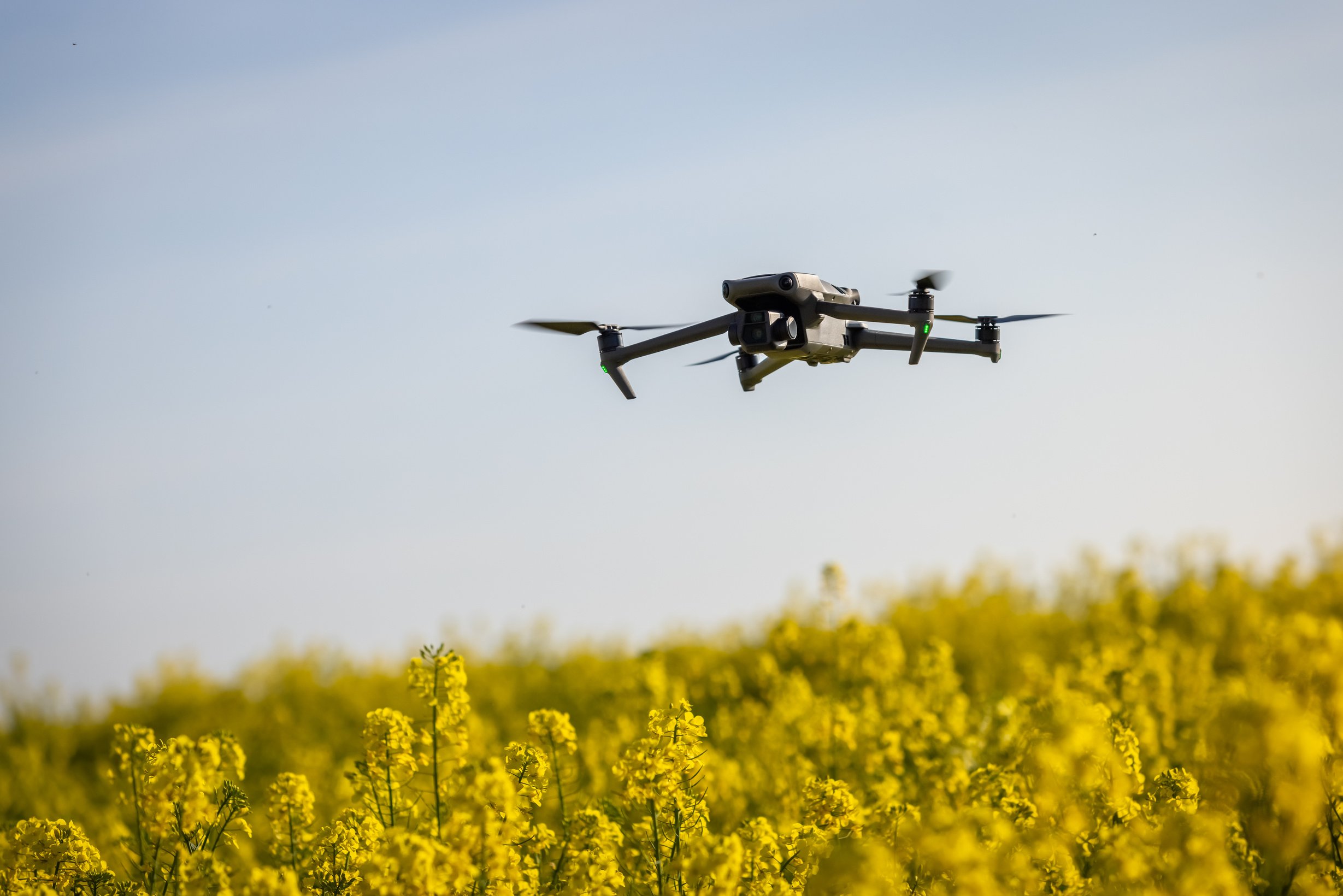
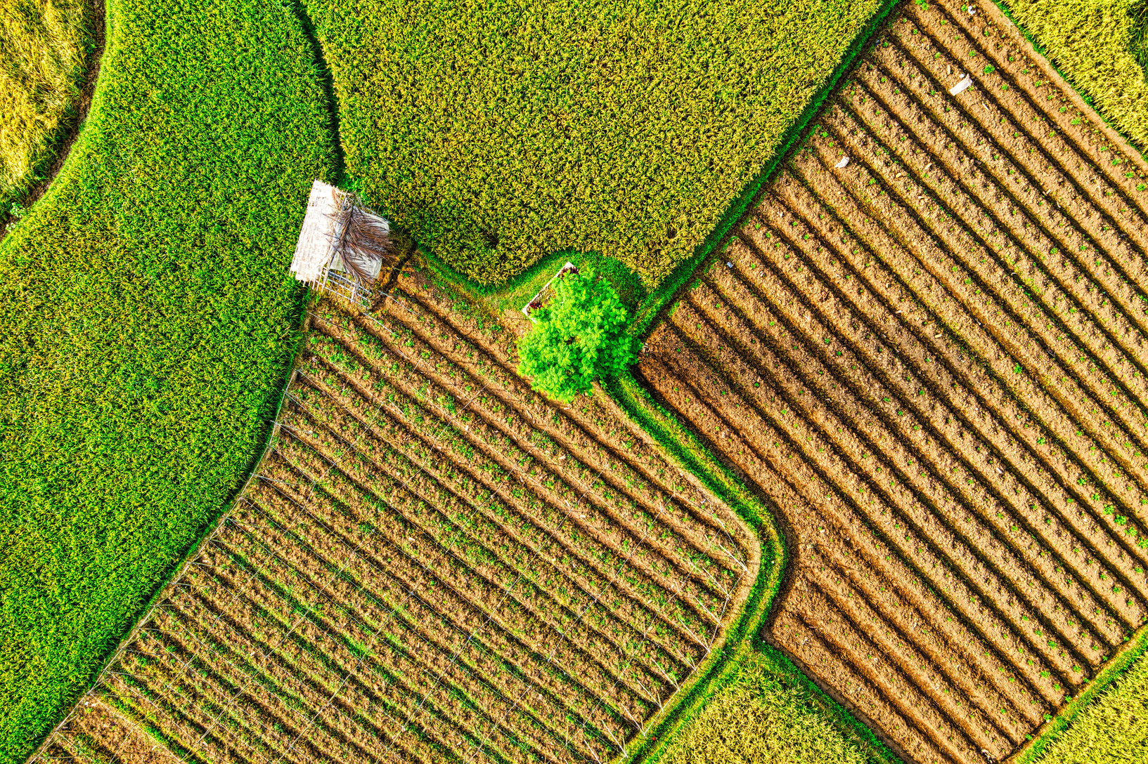
Just Drone It llc. empowers farmers and agricultural professionals with actionable data and insights to optimize crop management, improve efficiency, and achieve sustainable agricultural practices. Whether you're focusing on crop health monitoring, stand counts, precision agriculture, pest management, or land mapping, our team is committed to delivering customized solutions to meet your specific agricultural needs.
Crop Health Monitoring
with multispectral or thermal cameras capture detailed aerial imagery of crops. This data provides valuable insights into crop health, identifying areas of stress, disease, or nutrient deficiencies early on. By monitoring crop conditions from above, farmers can implement targeted interventions, optimize irrigation and fertilization, and maximize yield potential.
Land Management
create detailed maps and 3D models of agricultural land. This data supports land planning, drainage analysis, and soil erosion monitoring. It also helps in compliance with regulatory requirements and supports sustainable land management practices.
Crop Scouting and Pest Management
Livestock Management
Monitoring livestock health and behavior. Provide aerial surveillance of grazing areas, fencing, and herd movements, aiding in livestock management practices such as herd counting, behavior monitoring, and assessing pasture conditions.
Rapid and comprehensive crop scouting across large areas. Quickly identify pest infestations, weed outbreaks, or other potential threats to crops. This early detection allows for timely interventions, such as targeted pesticide applications or integrated pest management strategies, to minimize crop damage and ensure healthier yields.
Insurance and Risk Assessment
provide valuable data for insurance purposes by assessing crop damage or environmental risks. This supports accurate insurance claims processing and risk mitigation strategies, enhancing financial protection for farmers.
Hunting
Hunting
Conservation & Wildlife
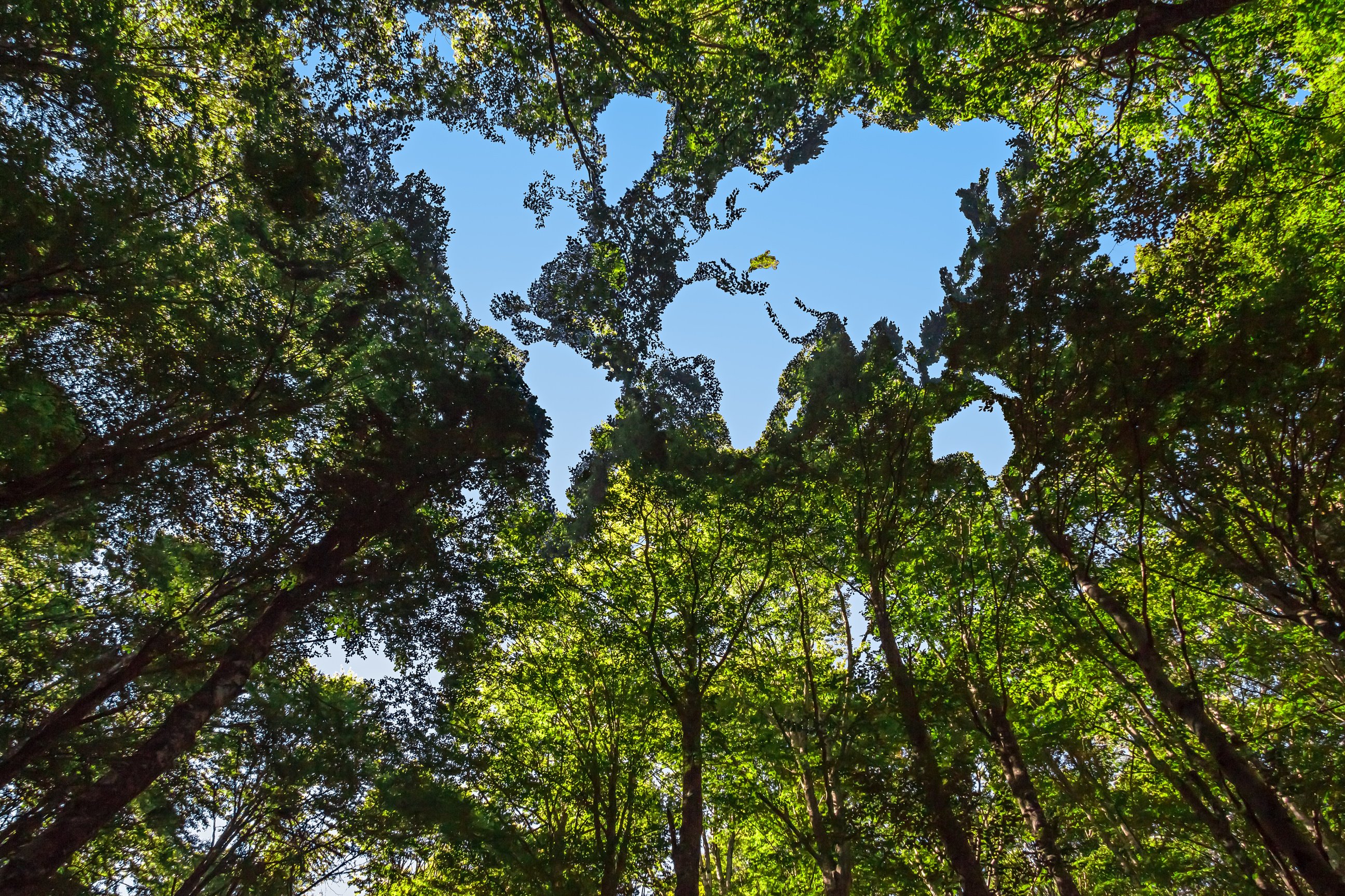
Our drone service helps wildlife conservation by:
1. Monitoring and Protection: Using drones to watch over animals and habitats, helping to stop poaching and assess habitat health.
2. Research and Population Counts: Studying animals from the air to learn about their numbers and behaviors without bothering them.
3. Mapping Habitats: Creating maps and 3D models of animal homes to plan better conservation efforts.
4. Environmental Checks: Monitoring things like water quality and deforestation to protect habitats.
5. Raising Awareness: Sharing amazing drone footage to show everyone why it's important to save wildlife and their homes.
Did you know, that Drones are able to help hunters by:
- Scouting: They provide aerial views to find game and locate trails quietly.
- Tracking: Drones monitor and track animals during hunts, improving hunting efficiency.
- Safety: They assist in navigating through unfamiliar terrain safely.
- Deer Recovery: Drones can also aid in locating downed deer after a successful hunt, making recovery quicker and more efficient.
Drones are revolutionizing industries with 3D modeling capabilities. By capturing high-resolution aerial imagery and data, drones create detailed 3D models of landscapes, buildings, infrastructure and so much more! This technology aids in accurate site mapping, project planning, and monitoring progress. It enhances efficiency, reduces costs, and improves decision-making across sectors such as construction, agriculture, architecture, mining, and urban planning.
2D & 3D MODELING
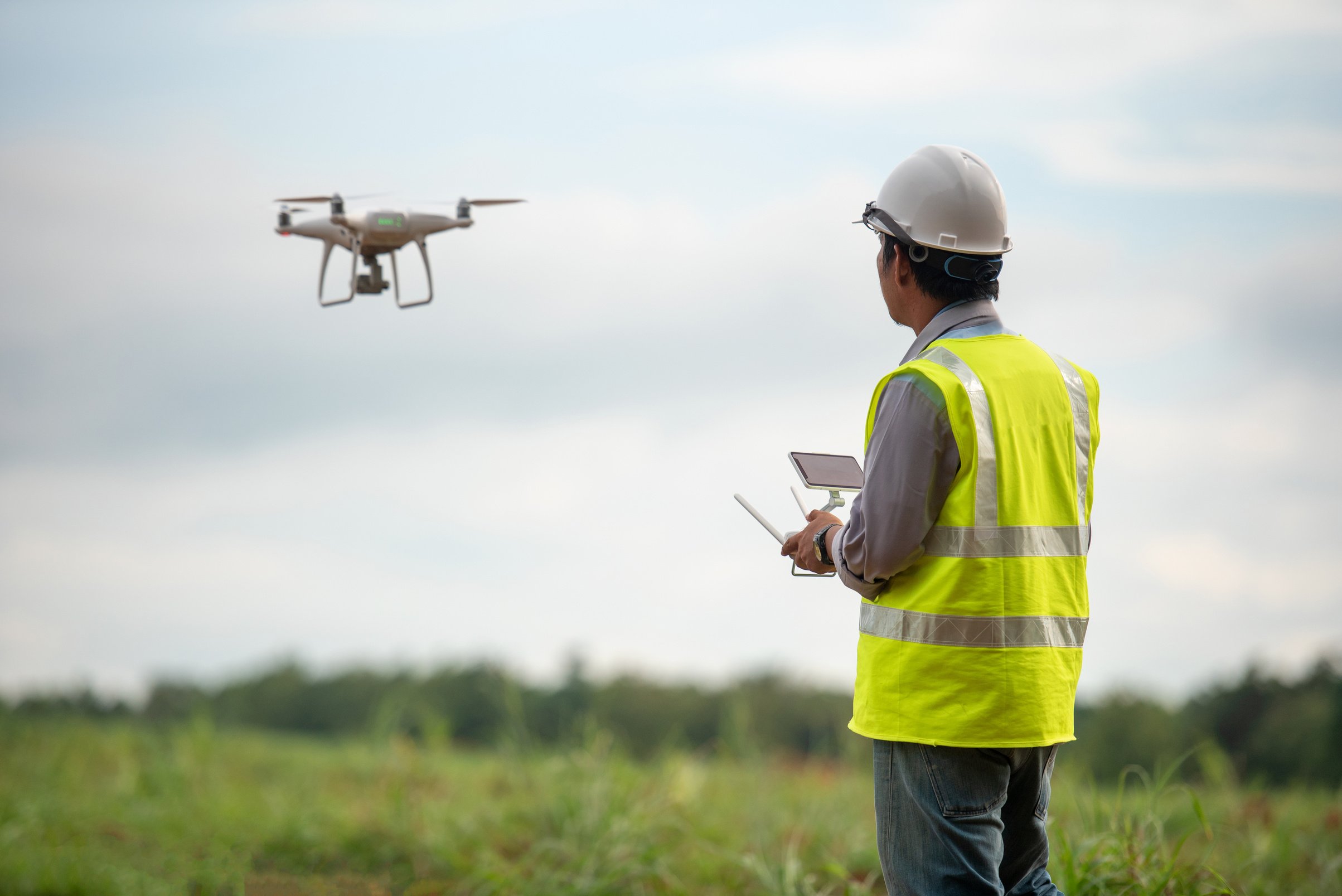
SURVEYING
Just Drone It llc. can help you streamline surveying processes by delivering accurate, cost-effective, and accessible solutions. Whether you require land surveys, topographic mapping, infrastructure inspections, or environmental assessments, our team is committed to providing high-quality data and actionable insights to support your project needs.
- Accurate Data Capture: Drones equipped with high-resolution cameras and precise GPS systems capture detailed aerial imagery and data with exceptional accuracy. This data is crucial for creating precise maps, 3D models, and orthomosaics of your survey area.
- Cost-Effective Solutions: Compared to traditional surveying methods, drones offer significant cost savings. They reduce the need for labor-intensive fieldwork, minimize site disturbance, and expedite data collection and processing, leading to faster project turnaround times.
- Versatility and Accessibility: Drones can access challenging or remote terrain that may be difficult or hazardous for surveyors to reach manually. This capability ensures comprehensive coverage of your survey area, including areas that are otherwise inaccessible.
- Enhanced Decision-Making: The detailed aerial data captured by drones provides valuable insights for informed decision-making. It facilitates accurate measurements, identifies potential risks or issues early on, and supports efficient project planning and management.
- Regulatory Compliance: Our drone operations adhere to regulatory standards and safety protocols, ensuring compliance with local regulations and minimizing environmental impact during surveying activities.
INSPECTIONS
Efficient and Safe Access:
Our drones provide safe access to hard-to-reach or hazardous areas, enhancing safety and reducing inspection time and costs.
High-Resolution Imaging and Precision Reporting:
Equipped with high-resolution cameras, our drones capture detailed imagery for thorough inspections, enabling early detection of defects and precise documentation.
Versatile Industry Solutions:
We offer customized inspection services across various industries, delivering valuable insights for maintenance, asset management, and regulatory compliance.
Just Drone It LLC enhances inspection processes with efficient, safe, and high-quality aerial imaging solutions. Our services ensure thorough assessments, improve operational efficiency, and contribute to the overall safety and longevity of assets across diverse industries.
CUSTOM SERVICES
If you have any questions comments or ideas that we could help you with, please don’t hesitate to call. There is no job not worth trying when the sky is the limit! Email us here to ask us how we may be able to serve you!
